Map Collection
Our map collection enables you to see how Philadelphia's neighborhoods and streets have grown and changed. Use our interactive mapping tool to overlay atlases dating back as far as 1843 over today's street layout.
Showing 21 to 40 of 62
Results for map of philadelphia

Street and Transit Map of Philadelphia Showing Street Car, Bus and Subway-Elevated Lines, 1954, Directory

Street and Transit Map of Philadelphia Showing Street Car, Bus and Subway-Elevated Lines, 1953, Directory

Street Map of Philadelphia and Vicinity Showing Street Car, Bus and Subway-Elevated Lines, 1952, Directory

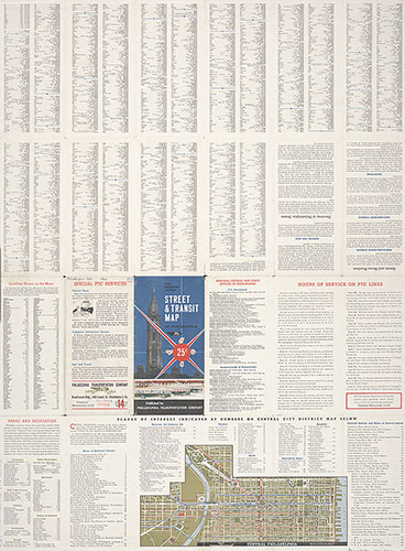
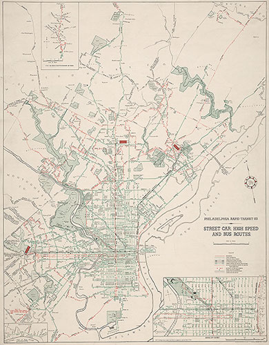
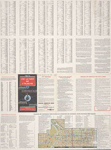
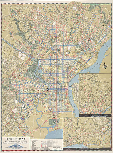
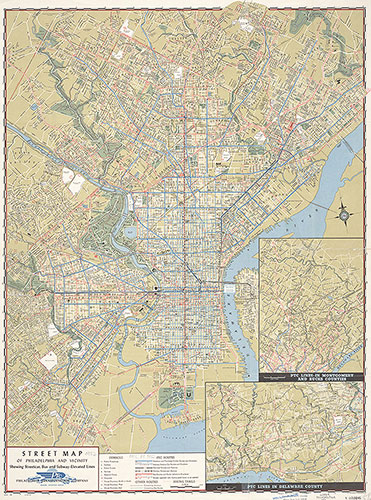
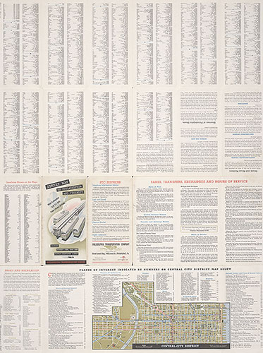
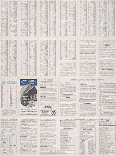
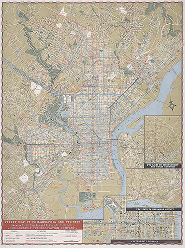
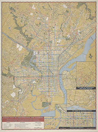
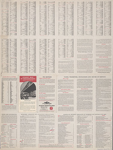
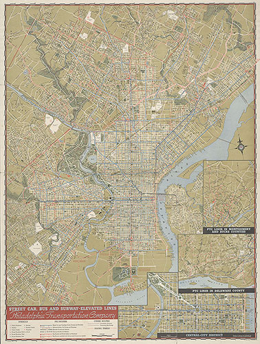
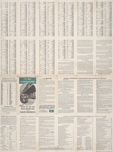
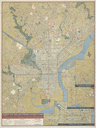
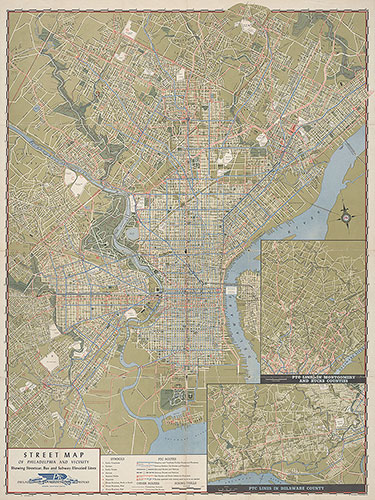
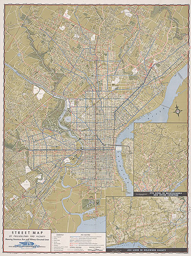
Street Map of Philadelphia and Vicinity Showing Street Car, Bus and Subway-Elevated Lines, 1952, Map

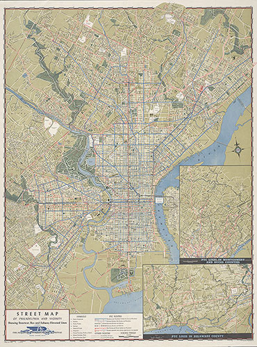
Street Map of Philadelphia and Vicinity Showing Street Car, Bus and Subway-Elevated Lines, 1951, Map

Street Map of Philadelphia and Vicinity Showing Street Car, Bus and Subway-Elevated Lines, 1951, Directory

Street Map of Philadelphia and Vicinity Showing Street Car, Bus and Subway-Elevated Lines, 1949, Directory

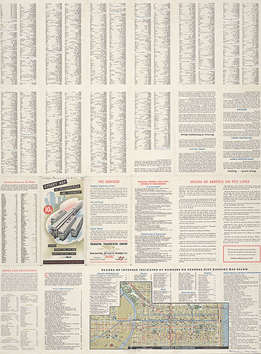
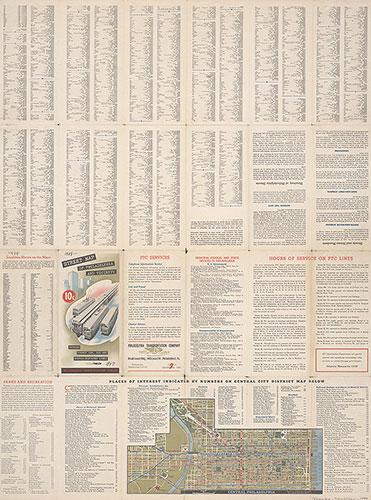
Street Map of Philadelphia and Vicinity Showing Street Car, Bus and Subway-Elevated Lines, 1949, Map

Street Map of Philadelphia and Vicinity Showing Street Car, Bus and Subway-Elevated Lines, 1948, Map

Street Map of Philadelphia and Vicinity Showing Street Car, Bus and Subway-Elevated Lines, 1948, Directory

Street Map of Philadelphia and Vicinity Showing Street Car, Bus and Subway-Elevated Lines, 1947, Directory

Street Map of Philadelphia and Vicinity Showing Street Car, Bus and Subway-Elevated Lines, 1947, Map
